

-
Recently Browsing 0 members
- No registered users viewing this page.
-
Latest Activity
-

By Sugar Cane · Posted
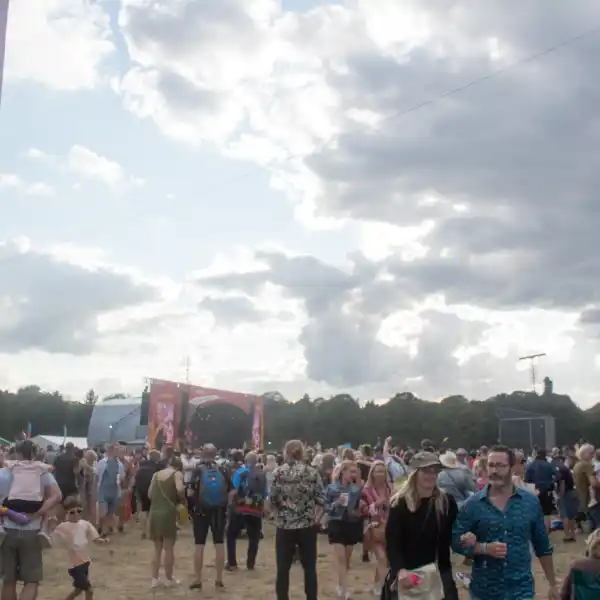
Is it possible for a festival of this size to have one of the currently hottest bands? -
 Strange comment, I don't think any party in this conversation actually smokes tobacco... The last time I even put my mouth to a cigarette was 13 years ago, in a club's smoking area. The fact is, I'm pro choice in most things, unless what you're doing is significantly harming somebody else, or the planet (and thus everybody else) then knock yourself out. Why should I or anybody else interfere. I'm not sure it was ever more costly than alcohol to be honest. But if that is the case, it's in no small part thanks to vaping. So why are people attacking vaping too? There's very little evidence of significant harm from passive smoking outdoors. There's definitely no evidence of harm from passive vaping outdoors. Given that a) it's considerably healthier for the person actually vaping than smoking, and b) it's the same tech and ingredients approved for use in smoke and haze machines indoors, but on a much much smaller scale, odds are there never will be. I can understand concerns with smoking, I don't agree with them, but I can at least understand them. When it comes to vaping, it's simply a case of some people don't like it, and because it's not 'their chosen vice,' they don't want other people doing it... Thankfully most people don't think like that, or we'd be banning absolutely everything. The most persistent and consistent (and also the most ridiculous) reason has been the sweet smells... Next up, banning perfumes / aftershaves I don't like the smell of. 🙄 Man I miss the days of coming home from the pub smelling like an ashtray, despite not smoking... These days all I get to go home smelling like is strawberry ice cream and sometimes blueberry. 😞
 -

-

By northernangel · Posted
Sex Pistols are a second stage headliner and Steel Panther more than likely are too. Like the lineup more more than headliners, Friday is the best day by a country mile. -
 Pretty underwhelmed by the lineup but love the headliners think we have a fair few logo bands to announce still this time round though. Main: Green day / Weezer / Jimmy eat world / Sex pistols Opus: ??? / the darkness Avalanche: ??? Dogtooth: Apocalyptica Main: Sleep token / ??? (FIR) / Don Broco / ?? Opus: ??? / Lorna shore Avalanche: ??? Dogtooth: Cradle of filth Main: Korn / bfmv / spiritbox / within temptation Opus: ??? / steel panther Avalanche: ??? Dogtooth: Sikth
-
-
Latest Festival News
-
Featured Products
-
Hot Topics
-
-
Latest Tourdates


Recommended Posts
Join the conversation
You can post now and register later. If you have an account, sign in now to post with your account.